Satellite Images: Footprints, Beams & Coverage Maps 2026
What Are Satellite Images and Footprint Maps
Satellite Footprint Images Explained
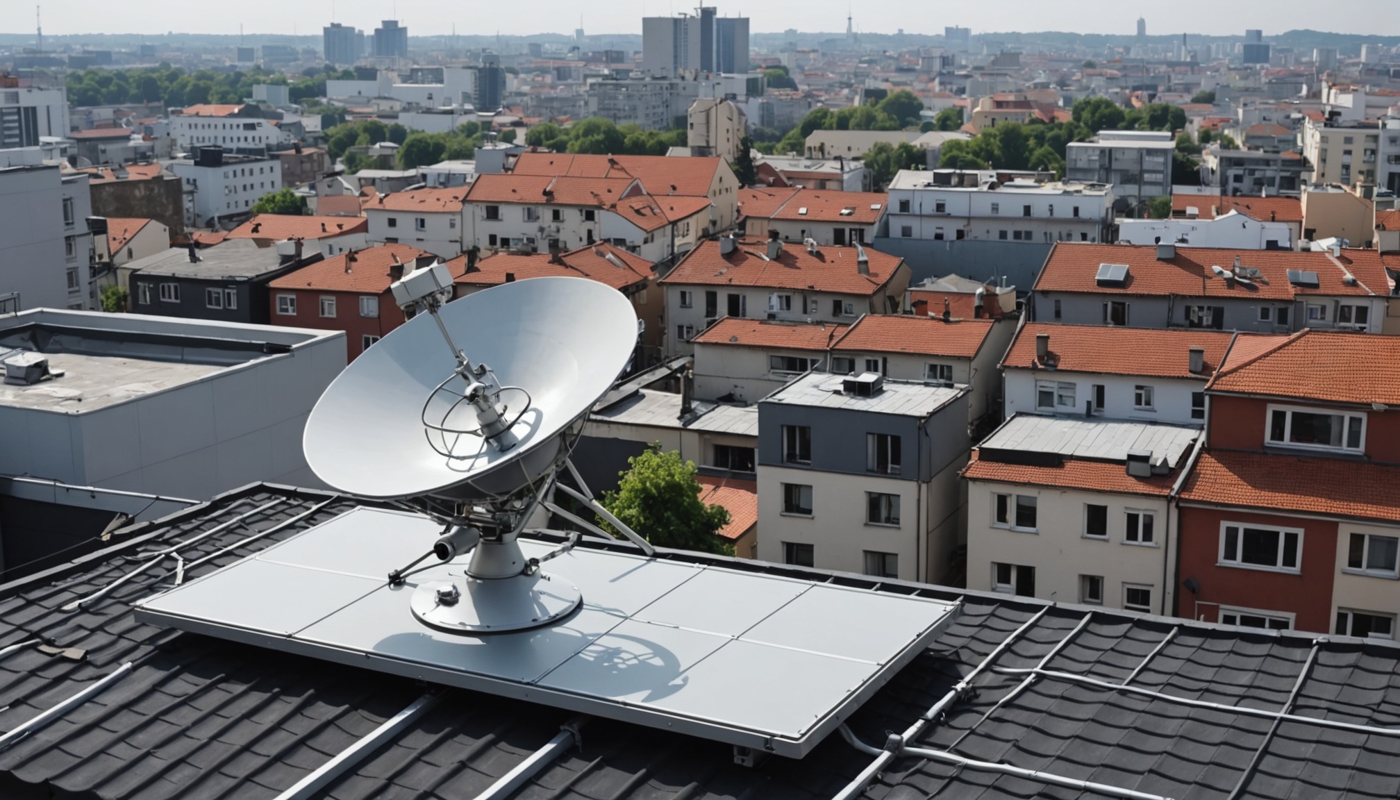
Satellite images aren't just about the beautiful photos of Earth from space. In the satellite TV world, they refer to footprint maps that show where a satellite's signals reach on Earth. These images are crucial for anyone setting up a satellite dish because they indicate the strength and coverage area of the signal. The Equivalent Isotropically Radiated Power (EIRP) contour maps are a key part of these images, showing how strong the signal is in different regions.
Beam Coverage vs Signal Strength Maps
Footprint maps can differ significantly based on the beam type. Wide-beam coverage blankets large areas but with a weaker signal, while spot-beam focuses on smaller areas with stronger signals. Shaped-beam coverage is tailored to specific geographic needs. Understanding these differences helps in selecting the right dish size and ensures optimal signal reception.
How Satellite Operators Publish Coverage Data
Major satellite operators like Astra, Hotbird, Eutelsat, Nilesat, and Turksat publish official footprint images on their websites. These maps show dBW values, which indicate the power level of the signal. For instance, a 50 dBW signal can be received with a smaller dish compared to a 44 dBW signal, which would require a larger dish. Always check the latest published maps, as these can change with satellite upgrades.
How to Read Satellite Coverage Maps
Understanding EIRP Values and Color Codes
When you look at a satellite footprint map, EIRP values and color codes are your best friends. Higher dBW values mean a stronger signal, which translates to needing a smaller dish. A color-coded map helps quickly identify these areas — typically, warmer colors (reds and oranges) indicate stronger signals.
Minimum Dish Size by Signal Zone
Here's a quick rule of thumb: if you're in a zone with 50+ dBW, a 60cm dish should suffice. For 47-50 dBW, go with an 80cm dish. Zones with 44-47 dBW need a 100cm dish, and anything below 44 dBW requires at least a 120cm dish. These guidelines ensure you get the best reception possible.
Ku-Band vs C-Band Footprint Differences
Ku-band signals (10.7-12.75 GHz) are more common for satellite TV and have smaller coverage areas but higher power levels, ideal for smaller dishes. C-band (3.4-4.2 GHz) covers larger areas but needs bigger dishes due to lower power levels. Knowing the band helps in choosing the right setup.
Checking Your Location on a Footprint Map
To see how these maps apply to you, find your GPS coordinates and overlay them onto a footprint map. Tools like SatBeams, LyngSat, and Dishpointer make this easy. They provide interactive maps where you can enter your location and instantly see the satellite images relevant to your area.
Popular Satellites and Their Coverage Images
Astra 19.2°E — European Coverage
Astra at 19.2°E is a powerhouse for European satellite TV. Its beams cover most of Western and Central Europe with EIRP values ranging from 47-52 dBW. This satellite carries a plethora of channels and is often used in multi-feed setups with Hotbird.
Hotbird 13°E — Europe, North Africa, Middle East
Hotbird at 13°E offers extensive coverage over Europe, North Africa, and the Middle East. With EIRP values between 44-50 dBW, it demands a variety of dish sizes depending on your exact location. It's a favorite for international channels and multilingual broadcasts.
Nilesat 7°W — MENA Region
Nilesat at 7°W is tailor-made for the MENA region, delivering strong signals (48-52 dBW) across a wide area. Its footprint ensures robust reception with a standard 80cm dish in most areas, making it a staple for Arabic language channels.
Turksat 42°E — Turkey and Central Asia
Covering Turkey and parts of Central Asia, Turksat at 42°E offers beams with EIRP values from 44 to 50 dBW. The satellite supports a wide range of regional programming and is crucial for viewers in these areas.
Astra 28.2°E — UK and Ireland Focused
Astra 28.2°E is specifically designed for the UK and Ireland, with beams delivering up to 52 dBW, allowing for smaller dishes around 60cm. This satellite is essential for British TV channels.
Tools for Satellite Image Analysis and Dish Alignment
Online Satellite Footprint Databases
Online resources like SatBeams.com offer interactive footprint maps that are invaluable for analyzing satellite images. These sites provide EIRP contour overlays and transponder details, helping you choose the right dish size and alignment.
Mobile Apps for Dish Pointing Using AR
Apps like SatFinder and Satellite Director use augmented reality to assist in dish alignment. They utilize your phone's compass and camera to show satellite positions, making it easier to align your dish accurately.
Using Satellite Finder Meters with Signal Visualization
Satellite finder meters, which display constellation diagrams, are indispensable for precise dish alignment. These devices visualize signal quality, helping to fine-tune your setup for the best reception.
Google Earth for Line-of-Sight Obstruction Checks
While Google Earth can't align your dish, it’s fantastic for checking line-of-sight. By entering your location, you can identify any potential obstructions like buildings or trees that might interfere with the signal path.
Satellite Signal Quality: Reading Constellation Diagrams
What Is a Constellation Diagram
A constellation diagram visually represents the quality of a digital satellite signal. It plots signal points to show how clean or distorted the transmission is. This is crucial for diagnosing signal issues.
DVB-S vs DVB-S2 Signal Patterns
DVB-S uses QPSK with four dots in a square pattern. DVB-S2 can employ 8PSK or higher, with more complex patterns. The tighter the dot clusters, the cleaner the signal. Scattered dots indicate interference or misalignment.
Interpreting MER, BER, and SNR Visually
MER (Modulation Error Ratio) above 12 dB is ideal for DVB-S2, while BER (Bit Error Rate) should be zero or close. SNR (Signal-to-Noise Ratio) also plays a part in assessing signal health. These metrics are visualized in constellation diagrams, offering a quick diagnostic tool.
When Signal Images Indicate Problems
Issues in signal images, like scattered dots, can point to problems such as dish misalignment, LNB issues, or even weather-related interference. By interpreting these patterns, you can troubleshoot and enhance your setup.
What is the best website to find satellite footprint images?
SatBeams.com provides interactive satellite footprint maps with EIRP contour overlays and transponder details. LyngSat.com maintains an extensive database with coverage maps for nearly every broadcasting satellite. Most satellite operators also publish official beam coverage images on their corporate websites.
How do I know which satellite covers my area?
Check interactive footprint maps by entering your location coordinates. Look for satellites where your area falls within the higher EIRP zones (above 47 dBW for a standard 80cm dish). Consider your geographic region — Europe is well covered by Astra and Hotbird, MENA by Nilesat, Central Asia by Turksat.
What dish size do I need based on satellite coverage maps?
Dish size depends on EIRP value at your location from the footprint map. General Ku-band guidelines: 50+ dBW needs 60cm, 47-50 dBW needs 80cm, 44-47 dBW needs 100cm, below 44 dBW needs 120cm or larger. Always add margin — go one size up if you are near the edge of a coverage zone.
Why do satellite footprint maps change over time?
Satellites have a finite lifespan (typically 15-20 years). When an operator replaces an aging satellite with a new one at the same orbital position, the beam pattern and EIRP values may change. Operators may also reconfigure transponders or redirect beams to serve changing market demands. Always check the latest maps before making equipment decisions.
Can I use Google Earth satellite images to align my dish?
Not directly for alignment, but Google Earth is valuable for checking line-of-sight. Enter your dish location, then draw a line toward the satellite azimuth direction. Check for tall buildings, trees, or terrain that could block the signal path. The satellite needs a clear view at the correct elevation angle — typically 20-40 degrees above horizon in Europe.
What does a constellation diagram tell me about my satellite signal?
A constellation diagram visualizes digital signal quality. For DVB-S (QPSK), you should see four tight clusters of dots in a square pattern. Scattered or smeared dots indicate noise, interference, or dish misalignment. Professional satellite meters and some DVB-S2 receivers can display these diagrams for real-time signal diagnostics.